

The Love of Liberty Brought Us Together
The Love of Liberty
Brought Us Together
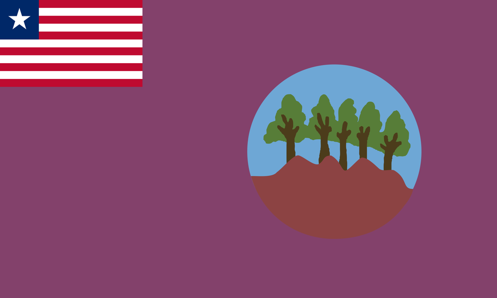
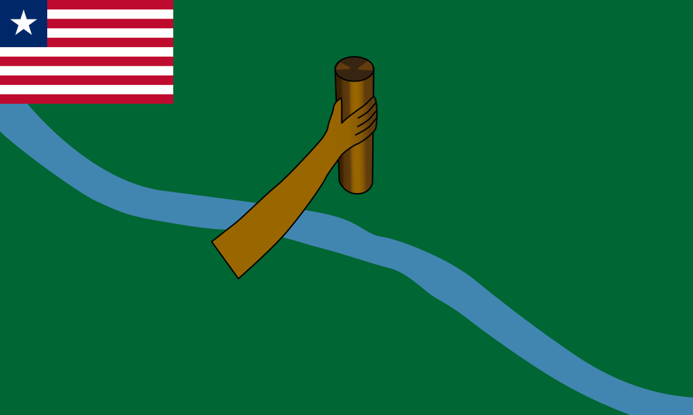
Bong County
Population: ~ 467,502 (2022 Census)
Area (sq mi): ~ 3,386
Area (acres): 2,167,040
Date Created: 1964
Districts: 12
-
Capital: Gbarnga
City Mayor: Gbarnga - Sylvester S. Wolo
-
Major Cities: Gbarnga, Salala, Phebe
-
Created in 1964, one of the counties formed in the administrative expansion into the interior.
Economy: heavily based on mining (especially iron ore) and agriculture. The Bong Mine was a major iron‐ore operation.
During the Liberian civil wars (1989‐2003), Bong was an important strategic region. Charles Taylor used Gbarnga as a base for his rebel movement early on.
-
Superintendent: Esther Walker
Senators:
Prince Y. Johnson
Henry Yallah
Representatives:
Thomas P. Fallah
J. Emmanuel Nuquay
Marvin Cole
Bomi
Population: 133,668 (2022 Census)
Area (sq mi): ~ 749
Area (acres): 479,360
Date Created: 1984
Districts: 4
-
Capital: Tubmanburg
-
Major Cities: Tubmanburg, Tellewoyan
-
A later split from Montserrado. More recent reorganization.
-
Superintendent: Samuel K. W. Moore
Senators:
Edwin Melvin Snowe
Representatives:
Clarence K. Massaquoi
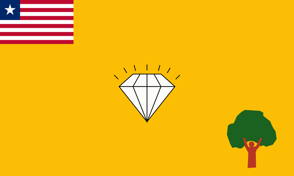
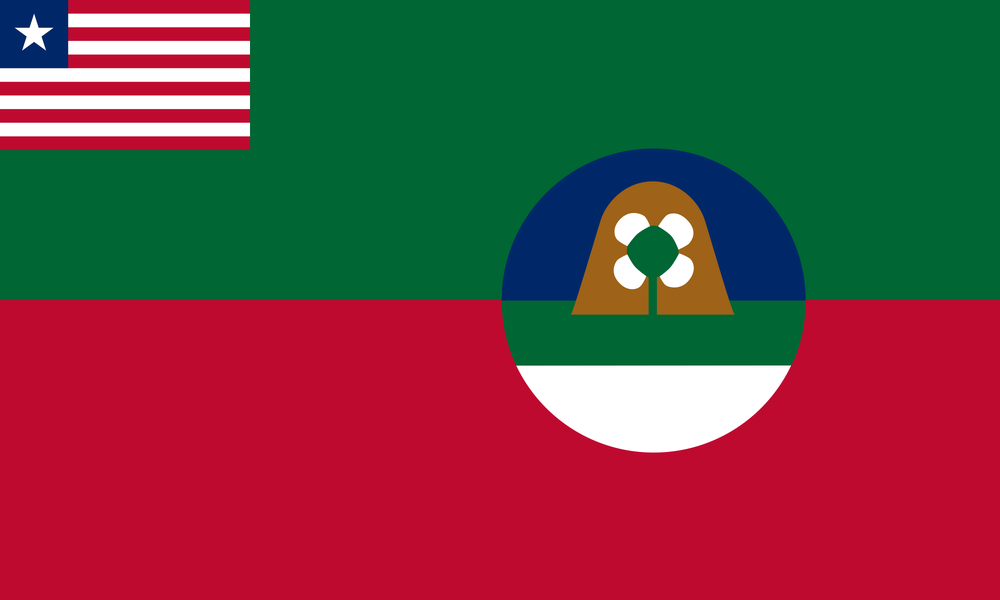
Gbarpolu
Population: ~ 95,995 (2022 Census)
Area (sq mi): 3,740
Area (acres): 2,393,600
Date Created: 2001
Districts: 6
-
Bopolu
-
Kamatahun, Belleh
-
The newest. Formed from parts of Lofa (and possibly other adjacent counties). Again part of attempts to decentralize, to improve administration in the interior.
-
Superintendent: Wleh L. D. V. K. B. Gborlu
Senators:
Armah Jallah
Representatives:
M. N. T. K. Gborlu
Grand Bassa
Population: ~ 293,557 (2022 Census)
Area (sq mi): 3,064
Area (acres): 1,960,960
Date Created: 1839
-
Capital: Buchanan
City Mayor: Buchanan - Jeanette B. K. Siaway
-
Major Cities: Buchanan, Kakata, Barteh
-
One of original counties. Buchanan (its capital) is named for Thomas Buchanan, early ACS figure. Grand Bassa played a role in Liberia’s early colonial period. Later, parts of it (River Cess) were split off in 1985.
-
Superintendent: Janjay Baikpeh
Senators:
Nyonblee Karngar-Lawrence
Jonathan L. Kaipay
Representatives:
Gabriel Smith
Adolph Lawrence
Districts: 8
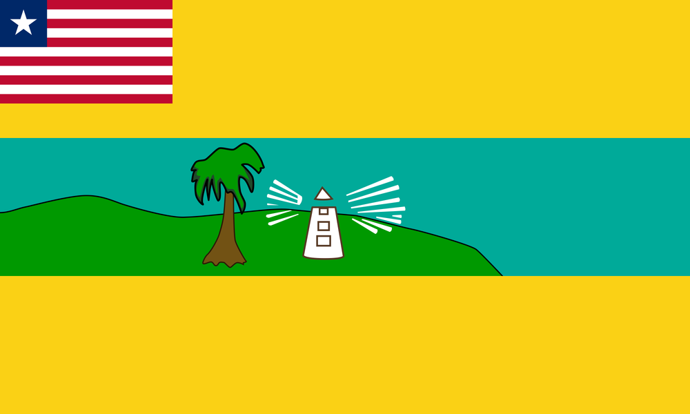
Grand Cape Mount
Population: 178,798 (2022 Census)
Area (sq mi): 1,993
Area (acres): 1,275,520
Date Created: 1844
-
Capital: Robertsport
-
Major Cities: Robertsport, Gola Konneh
-
Originally part of Montserrado, then carved out. The name comes from the Cape and mountainous geography. Early interactions with European explorers; later settlements.
-
Superintendent: Florence L. K. Brandy
Senators:
Cllr. H. Varney G. Sherman
Blamo Nelson
Representatives:
Alfred W. K. J. K. Bropleh
City Mayor: Robertsport - Daniel P. K. Johnson
Districts: 5
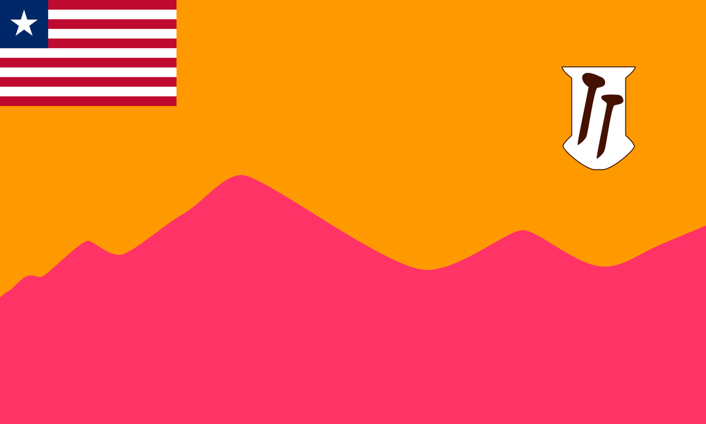
Grand Gedeh
Population: 216,692 (2022 Census)
Area (sq mi): 4,047
Area (acres): 2,590,080
Date Created: 1964
Districts: 3
-
Capital: Zwedru
City Mayor: Zwedru - Moses G. Zaza
-
Major Cities: Zwedru, Fish Town
-
Became an official county in 1964 during the administrative division reforms. (Liberia Data)
Historically part of South Eastern Province before being elevated to county status. (Ministry of Internal Affairs)
Capital: Zwedru. (Liberia Data)
Geography: tropical forests, significant rainfall; lower elevation hills and valleys; natural resources include timber, rubber, etc. ()
Demographics: numerous indigenous groups. Mixed religious beliefs. Languages vary. The region was among those heavily impacted in war and also somewhat neglected in infrastructure investment till recent decades.
-
Superintendent: Kneh K. Y. Borbor
Senators:
Marshall Dennis
Alphonso Gaye
Representatives:
Zoe P. L. Konneh
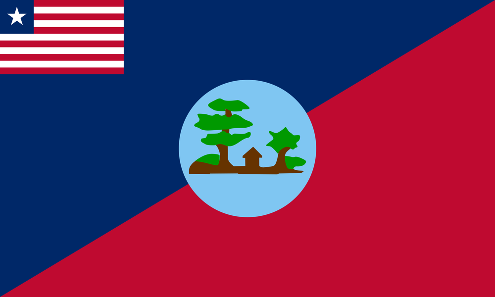
Grand Kru
Population: 109,342 (2022 Census)
Area (sq mi): 1,503
Area (acres): 961,920
Date Created: 1984
Districts: 18
-
Description text goes here
-
Item description
-
Also created in 1984. Coastal and interior mix, with Kru ethnic group presence. It was part of Maryland County territory before split
-
Description text goes here
Lofa
Population: 367,376 (2022 Census)
Area (sq mi): 3,854
Area (acres): 2,466,560
Date Created: 1964
Districts: 6
-
Capital: Voinjama
-
Major Cities: Voinjama, Foya, Kolahun
-
Also established in 1964.
Capital: Voinjama.
Indigenous groups: multiple ethnic groups including Kpelleh, Lorma, Mandingo, Kissi, Gbandi, among others.
It is agriculturally productive (“breadbasket” type potential), with rice, coffee, cocoa, etc.
Severely affected by civil war. Many people displaced; refugee flows to neighboring Guinea and Sierra Leone.
Also rich in forested areas, conservation interest, and has notable topography (e.g. Mount Wuteve is in Lofa).
-
Superintendent: William T. Kamba
Senators:
George T. Weah (President of Liberia)
Stephen Zargo
Representatives:
Clarence S. Massaquoi
J. Nyumah Dorko
Margibi
Population: 304,946 (2022 Census)
Area (sq mi): 1,010
Area (acres): 646,400
Date Created: 1985
Districts: 4
-
Capital: Kakata
City Mayor: Kakata - Amos K. D. Sannoh
-
Major Cities: Kakata, Bassa Town
-
Created under President Samuel Doe’s administration, from parts of Montserrado. Rapid growth because of proximity to capital and infrastructure.
-
Superintendent: Jerry Varnie
Senators:
Oscar A. Cooper
Jim W. G. McClain
Representatives:
Tibelrosa S. Tarponweh
M. P. K. Weah
Maryland
Population: 172,202 (2022 Census)
Area (sq mi): 886
Area (acres): 567,040
Date Created: 1857
Districts: 2
-
Capital: Harper
-
Major Cities: Harper, Fish Town
-
Originally founded by the Maryland State Colonization Society (USA) in 1834 as a colony for freed African‑American slaves from the U.S. state of Maryland.
Became independent as the Republic of Maryland in 1854.
In 1857 it joined Liberia, becoming Maryland County. ()
Capital: Harper. ()
Notable events: the Liberian–Grebo War (1875‑1876) between the Republic of Maryland (later the county) and local Grebo (indigenous) people. ()
Also in the 1970s, the county saw a notorious series of ritual killings that gained national attention, involving high-profile figures. ()
Economy: agriculture dominated (rice, cassava), fishing, rubber; reliant on natural resources and coastal trade.
-
Superintendent: Darlington T. N. Dahn
Senators:
J. Gbleh-bo Brown
H. Dan Morais
Representatives:
Isaac W. Johnson
Montserrado
Population: 1,920,914 (2022 Census)
Area (sq mi): 737
Area (acres): 471,680
Date Created: 1839
Districts: 17
-
Description text goes here
-
Item description
-
Probably the single most historically important: includes Monrovia (capital), was first focal settlement by the ACS. Many freed slaves/people of color settled here. Over time other counties were split from Montserrado (e.g. Margibi, Bomi) as territory administration expanded.
-
Description text goes here
Nimba
Population: 621,841 (2022 Census)
Area (sq mi): 4,459
Area (acres): 2,853760
Date Created: 1964
Districts: 6
-
Capital: Sanniquellie
-
Major Cities: Sanniquellie, Ganta, Tappita
-
The largest county by area. Important for mining (iron ore, etc.), especially the LAMCO enterprise in the 1950s & ‘60s. Its border position adjacent to Guinea and Côte d’Ivoire gives it strategic importance.
-
Superintendent: Nelson J. N. R. S. K. Lister
Senators:
Prince Johnson
Thomas S. Grupee
Representatives:
Worlea Saywah Dunah
Rivercess
Population: 90,777 (2022 Census)
Area (sq mi): 2,159
Area (acres): 1,381,760
Date Created: 1985
Districts: 7
-
Capital: Cesu
-
Major Cities: Cesu, Doe
-
Carved out from Grand Bassa in 1985. Less densely populated, more rural.
-
Superintendent: Alice Nyenswah
Senators:
Milton T. Teahjay
Representatives:
Francis S. Dopoe
River Gee
Population: 124,653 (2022 Census)
Area (sq mi): 1,974
Area (acres): 1,263,360
Date Created: 2000
Districts: 6
-
Capital: Fish Town
-
Major Cities: Fish Town, Zwedru
-
One of the newest counties. Originally part of Grand Gedeh. Created to bring administrative governance closer to people, especially in more remote areas.
-
Superintendent: Samuel N. T. F. Karnga
Senators:
Conmany Wesseh
Cllr. Doris D. Williams
Representatives:
Alex J. J. G. Gbieh
Sinoe
Population: 150,358 (2022 Census)
Area (sq mi): 3,913
Area (acres): 2,504,320
Date Created: 1843
Districts: 17
-
Greenville
-
Greenville, Butaw
-
Another of the original coastal counties. Early settlement by ACS and other freed people along the coast. Its interior regions later connected with missionary, trading, and rubber/timber economies.
-
Superintendent: Lee T. G. V. L. V. F. R. N. Goffa
Senators:
J. Milton Teahjay
Representatives:
Bill Teahjay